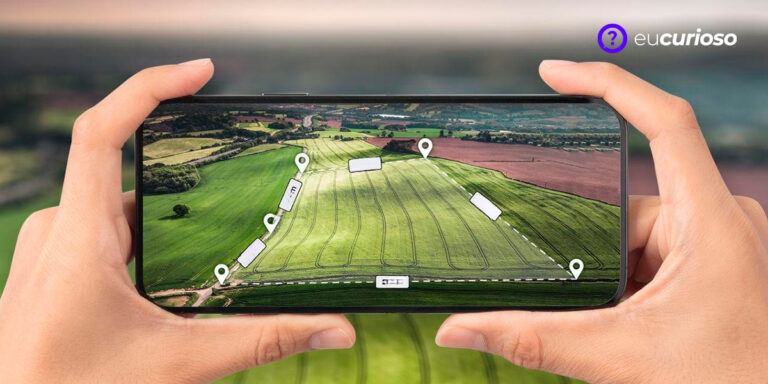
Satellite imagery viewing apps can transform your experience of seeing the world. These apps make it easy to explore different regions of the planet, and they're incredibly useful for a variety of activities, including travel planning and environmental analysis.
You can view high-resolution satellite imagery and gain valuable insights you wouldn't otherwise be able to gain, which can of course be especially useful for students, professionals, and hobbyists.
Want to learn more about these exciting features? Keep reading to discover how these apps can help you explore the world in a whole new way.
Benefits of using apps to view satellite images
Satellite imagery applications are useful in a variety of situations, such as environmental monitoring, where they help track changes in vegetation and water bodies. In urban planning, these images can help identify areas for development.
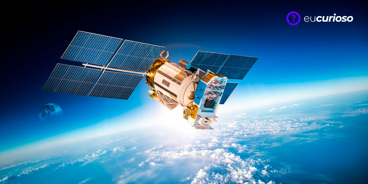
THE broad and detailed view of the space The capabilities offered by these applications provide valuable insights. With high-resolution satellite imagery, you can see details that wouldn't be visible otherwise.
These apps are also great for those who love to explore, as you can see places you might never visit in person but have always been curious about.
Google Earth: How to Access and Use
To get started with Google Earth, you'll first need to download the app, which is available for multiple platforms, including computers and mobile devices. After installation, you can start exploring the world in 3D.
Navigating Google Earth is easy, simply use the search bar to find specific locations or simply drag the map to explore different areas. It also offers a historical view, allowing you to see how locations have changed over time.
Another interesting feature is the 3D visualizationWith it, you can view buildings and landscapes in three dimensions, making the experience even more realistic. Google Earth is a powerful tool for those who want to explore the planet in detail.
NASA Worldview
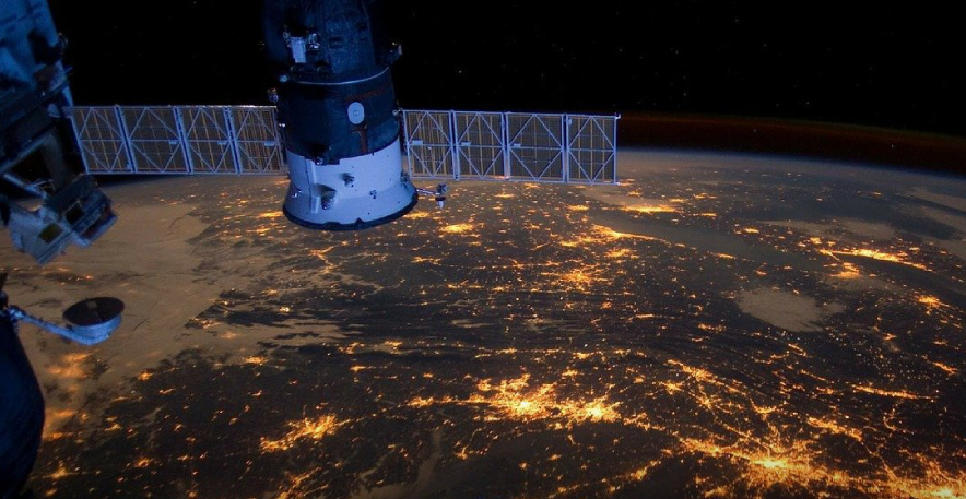
NASA Worldview offers unique features such as display of temperature and cloud cover data, allowing a detailed and informative view of our planet. You can see satellite imagery in near real-time, which is great for monitoring rapid changes.
NASA Worldview's analysis tools allow you to create custom visualizations. You can adjust the settings to see exactly what you need, whether for academic studies or professional projects.
Make the most of near real-time images offered by NASA Worldview is simple. Simply explore the different data layers available and adjust settings as needed.
Zoom Earth
Zoom Earth offers interesting features such as unlimited zoom and night mode, allowing detailed visualization of specific areas, ideal for different types of users. Geography students and professionals can benefit greatly.
Map overlays in Zoom Earth provide a richer, more detailed view, allowing you to combine different data layers to get accurate information about specific areas.
Whether for study, work, or curiosity, it offers resources that make exploring the planet more interesting and informative. It's an excellent choice for those who want to see the world from a new perspective.
Sentinel Hub: Ideal for Professionals
Sentinel Hub is ideal for professionals who need detailed satellite imagery, as it offers advanced analytical tools Perfect for environmental and urban monitoring. With it, you can obtain accurate information about specific areas.
Setting up and analyzing data from multiple satellite sources is easy with Sentinel Hub, enabling detailed and accurate analysis, crucial for professional projects. Whether for environmental studies or urban planning, it offers the tools you need.
It combines high-quality imagery with advanced analytical tools, making it ideal for those who need detailed and accurate data.
Gaia GPS
Gaia GPS is a valuable tool for those who enjoy outdoor adventures, as it offers offline navigation and GPS tracking features, making it ideal for hiking, trails, and other activities. You can easily plan and save routes.
With it, you can use the tracking in real time for safe navigation – especially useful in remote areas where cell signal may be weak.
The app is an excellent choice for those who enjoy exploring nature and want a safe and informative experience.
Conclusion
The satellite imagery viewing apps discussed here offer an incredible way to explore the planet. They help improve our understanding of the world around us, so choosing the right app can make all the difference for your specific needs.
So, how about exploring these apps and discovering the wonders of our planet? Download an app and start your journey today. You'll be amazed at what you find!